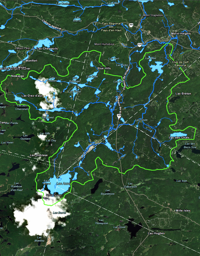
Ruisseau Jackson Protected Natural Area (RJANP) is proud to present a recent map produced by
Oréades géomatique showing the Ruisseau Jackson watershed. The area covered by RJANP is a
little smaller, as you can see on our website. The reason for this is that we are limiting our scope
to the primary and secondary tributaries, but that doesn’t mean we’re not taking an interest in
what lies beyond.
The area we usually refer to as RJANP consists of the 20 square kilometres that make up
Ruisseau Jackson’s immediate watershed. The main protected area stretches from Lac Daïnava
to Lac Echo, by way of Lac Seale, which lies in the geographical centre of the watershed.
Downstream from Lac Echo, Ruisseau Jackson runs into the Simon River, which flows into the
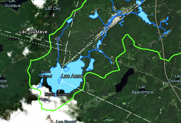
Rivière du Nord. However, the watershed in its entirety includes Lac Anne, Lac-des-Chats, Lac
Perry and Lac Cook!
Here is the map provided by Audrey Beaudoin-Arcand from Oréades géomatique. Many thanks
to the whole team!