
The territory’s water system includes water bodies, regular and intermittent watercourses and wetlands, which all fall under provincial legislation and municipal regulations.
Credits: Jean-Louis Courteau, CIEL.
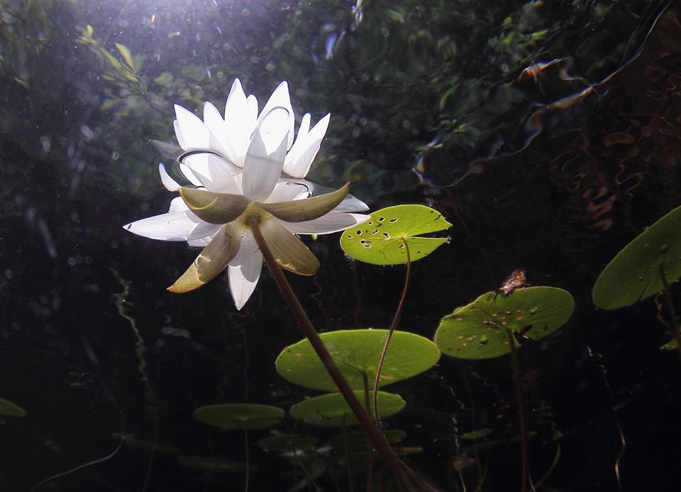
Water bodies
The general flow in the Ruisseau Jackson watershed is southwest to northeast. Lac Anne is the creek’s biggest tributary. The watercourse runs through several bodies of water over three kilometres to reach Lac Daïnava. Downstream of Lac Daïnava, it runs into another creek out of Lac Perry to the north and water bodies in the Lac Outardes sector. From this junction, the creek ends its course in Lac Seale, some two kilometres further.
Two other major tributaries of Ruisseau Jackson connect at Lac Seale, which has become a large marsh. Lac des Chats is at the head of the first tributary in the southeast. The second is from the southern wetlands.
From Lac Seale, Ruisseau Jackson runs along over three kilometres before reaching Lac Écho. Past the lake, the creek flows along 1.6 kilometres into Rivière à Simon, which streams towards the east to Rivière du Nord in Piedmont and Sainte-Adèle.
There are many small bodies of water scattered around the watershed. Some, like Lac Seale and a pond located west of Route 329, are manmade (dug or created by dams decades ago).
Water quality
Ruisseau Jackson protected natural area (RJANP) has been directing sampling activities since 2015 with support from local associations and the expertise of Abrinord, l’organisme de bassin versant de la rivière du Nord [watershed agency for the Rivière du Nord]. Our goal is to monitor the quality of the watershed’s watercourses in response to the needs expressed by the community.
Abrinord manages the Programme d’échantillonnage de l’eau du bassin versant de la rivière du Nord [sampling program for the Rivière du Nord watershed], collecting and publishing data of scientific merit, notably for public health purposes. Stakeholders interested in the watershed selected the sampling stations and developed the program in conjunction with an issue table and a technical committee.
All of the data are public and available online at the following website: Résultats / Programme d’échantillonnage de l’eau. The following sampling stations are in the watershed area (example for 2015): 31 (Wood Road bridge); 32 (Christieville Road bridge); 62 (Log Village Road bridge – private road); 63 (station near Lake Daïnava a few hundred metres downstream from a sandpit).