Topography
A vast central valley surrounded by tall hillsides marks the area around Ruisseau Jackson. The western part of the territory is characterized by valleys enclosed by hummocks. The slope of the Ruisseau Jackson valley is relatively low, but the adjacent mountain landscapes are average to steep. The highest point is 410 metres and the lowest is 255 metres.
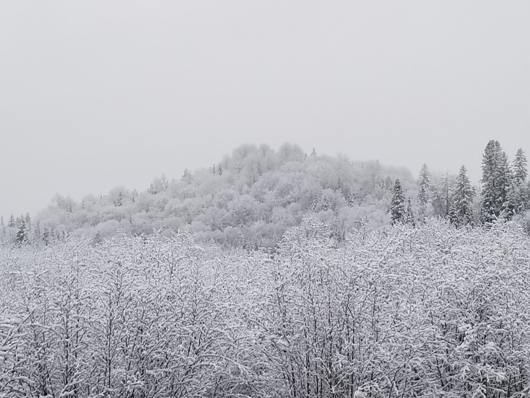
First snow 2021.
Soil
The region’s soil types vary significantly but most of the area around Ruisseau Jackson is glacial deposit. In the valley, the western watershed is glacio-fluvial deposit from glacier melting. In fact, there is thick organic deposit around parts of the western watershed and Ruisseau Jackson valleys.
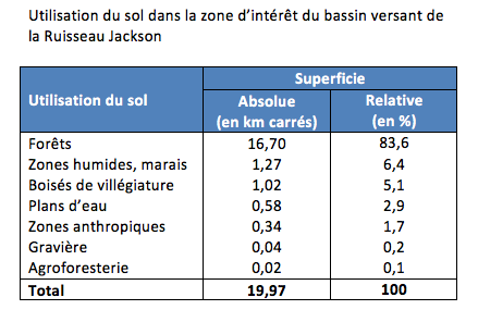
In the watershed, land drainage also varies from one area to the next. There is significant draining in most of the basin and especially on the mountain slopes, but other areas, such as the marshes and wetlands, show obvious signs of irregular and imperfect water drainage (6.4% of the territory).